Attiki is a peninsula with a large coastline from the Corinthian Gulf in the west, Saronic Gulf in the south-southwest and along the Southern Evoikos Gulf in the east. All Attiki’s borders with other prefectures are essentially natural geographical boundaries imposed by mountains, including Mt Geraneia in the west and Mt Kithaironas, Mt Pateras and Mt Parnitha in the north. The mountains of Pendeli and Ymitos define Athen’s borders. The city takes up a large part of the total prefecture. The mountains protect the vineyards from the prevailing coolnorth winds.
The climate can be broadly described as typical Mediterranean even though there are climate variations between the different sub-regions. The winters are mild and the summers warm and dry. Summer heat is usually moderated by sea breezes and wind, particularly along the coast.
Sunshine is ample throughout the year and overall the average temperature in Attiki are among the highest in Greece (18° C)
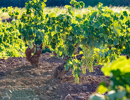
Attica soils are quite diverse. Limestone and calcareous-clay soils are predominantly found. These are relatively poor and tend to restrict yields, thus providing higher quality fruit.
The region of Attiki can be broadly divided into the following 4 groupings based on geography and climate:
Mesogaia
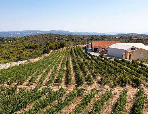
Mesogaia is located in the eastern part of Attiki, including the sub-regions of Paiania, Spata, Kantza, Pikermi, Pallini, Rafina, Koropi, Keratea and Markopoulo. Despite the area’s recent urbanization and the newly built international airport of Athens, that greatly reduced the vineyard area, this still remains the largest vineyard of Attiki. Mesogaia means the middle land, due to the fact that the area is located between the seas of Southern Evoikos and Saronic Gulfs. It is one of the driest and hottest wine regions of Greece. It receives an annual 2,900 hours of sunshine and average rainfall is less than 400-450mm per year. However, the sea’s influence becomes very pronounced and strong winds (meltemia) moderate the summer heat.
Soils are diverse and vary even within small distances. The underlying rock is of limestone origin and is relatively close to the surface.

Megara

Megara is located on the western side of the prefecture in the middle of two gulfs. The soils are relatively fertile and favor the production of higher yields. Most vineyards are located on the slopes of Mount Geraneia at an altitude reaching 700m. above sea level. The climate is typically Mediterranean, but there is a constant breeze that results from the proximity to the Corinthian and Saronic Gulfs, as well as from the surrounding mountains that have a cooling effect on the area. The vineyard is planted with a combination of indigenous and international grape varieties.
Slopes of Kithaironas
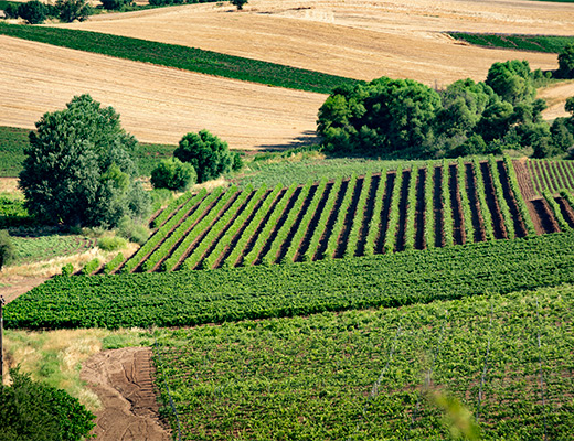
The mountain of Kithaironas lies in the northwest of Attiki and forms the boundary with the Boeotia prefecture. The vineyards are planted in gently rolling slopes and the climate is Mediterranean with a continental influence. Winters can be long, relatively cold, with ample snow-fall. The higher altitude (up to 500m) results in large diurnal temperature range during the summer, resulting in a slow maturation of the grapes. The soils are clay loam and sandy loam and are quite fertile. The best vineyards are located on gentle slopes with good drainage. International varieties perform particularly well here.

Northern Attiki

This area includes Mt Parnitha and much of the Pendeli Mountain. It is the coolest part of Attiki and in places like Stamata or Kapandriti altitudes can reach 400m above sealevel. Cold nights and cool days arrive early in the autumn. Savatiano grape bears a distinct character here. It is lower in
alcohol, with higher acidity and leaner on the palate, than the wines produced in the region of Mesogaia.
